26th May
The day dawned with beautiful blue skies and a light southerly wind. For the first time on this trip we had to start opening Basil’s windows to dissipate the heat.
Today we drove all the way to the most southerly point of South Uist. The roads were mostly single track, so progress was slow, but the scenery attractive in a bleak way, aided by the weather . North Uist is mostly low lying, but South Uist does have some more serious mountains, but again the human habitation is on the Machair by the sea.
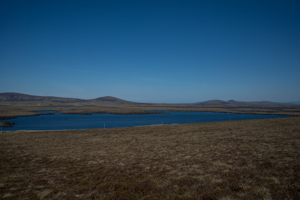
Inland North Uist landscape
En route we stopped for a look at the Barpa Langlass Cairn, a neolithic structure built over 5000 years ago during the middle stone age. From the outside it looks like a heap of stones, but within there are several chanbers, which could have been used for burials. Until very recently you could venture inside, but a recent roof collapse has stopped that for the time being. The cairn now sits on a very bleak heather clad moor. But at the time of its construction it would have been surrounded by forest. The claim on one of the signs that it is one of the oldest standing buildings in Northern Europe, stretches credibility somewhat, but it is certainly a fascinating glimpse at our ancient ancestors.
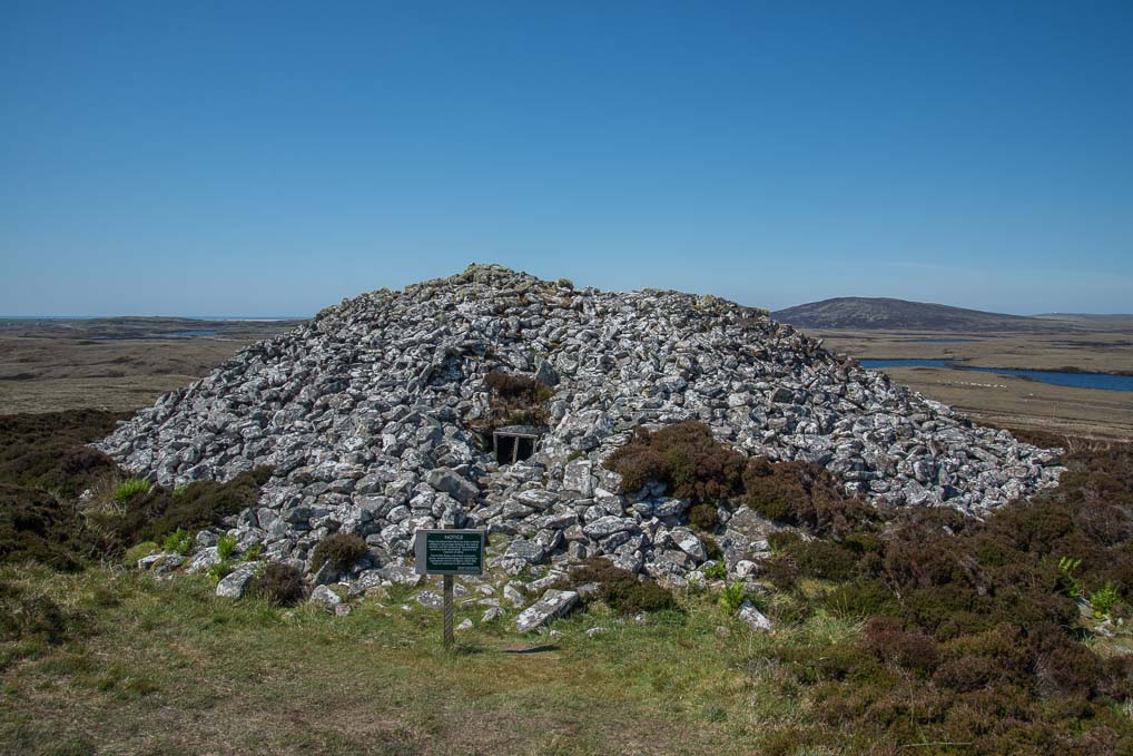
Barpa Langass Cairn showing entrance
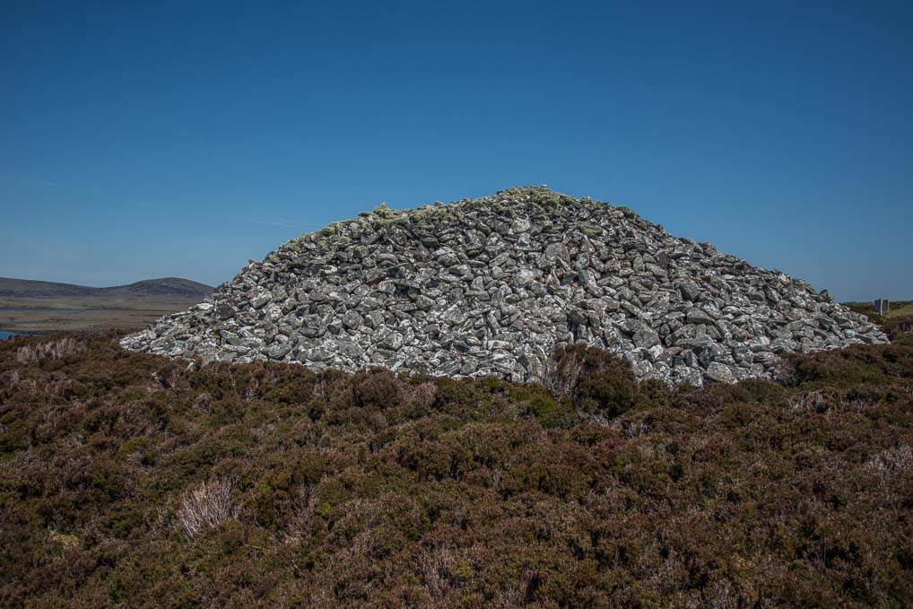
Burpa Langass Cairn
As we continued our journey we were temporarily halted while a farmer drove his cows down the main road to new pasture. It proved very interesting because the farmer talked us as the cows made their slow way. He told us how his grandparents were the last people to live on the Monarch Islands, a small, even more remote, set of islands off North Uist’s west coast. It was apparently very hard subsistence farming and they finally moved to the main island in 1945.
I thought today would be a bird free day, but they are everywhere. We stopped at a Co-op in a small village, which incidentally was very well stocked, and adjacent to the car park, on a small tidal river, I spotted a pair of Red Breasted Mergansers and a number of Eider Ducks. I haven’t got a photo of the Merganser, so while Sarah nipped into the shop out came the birding lens!
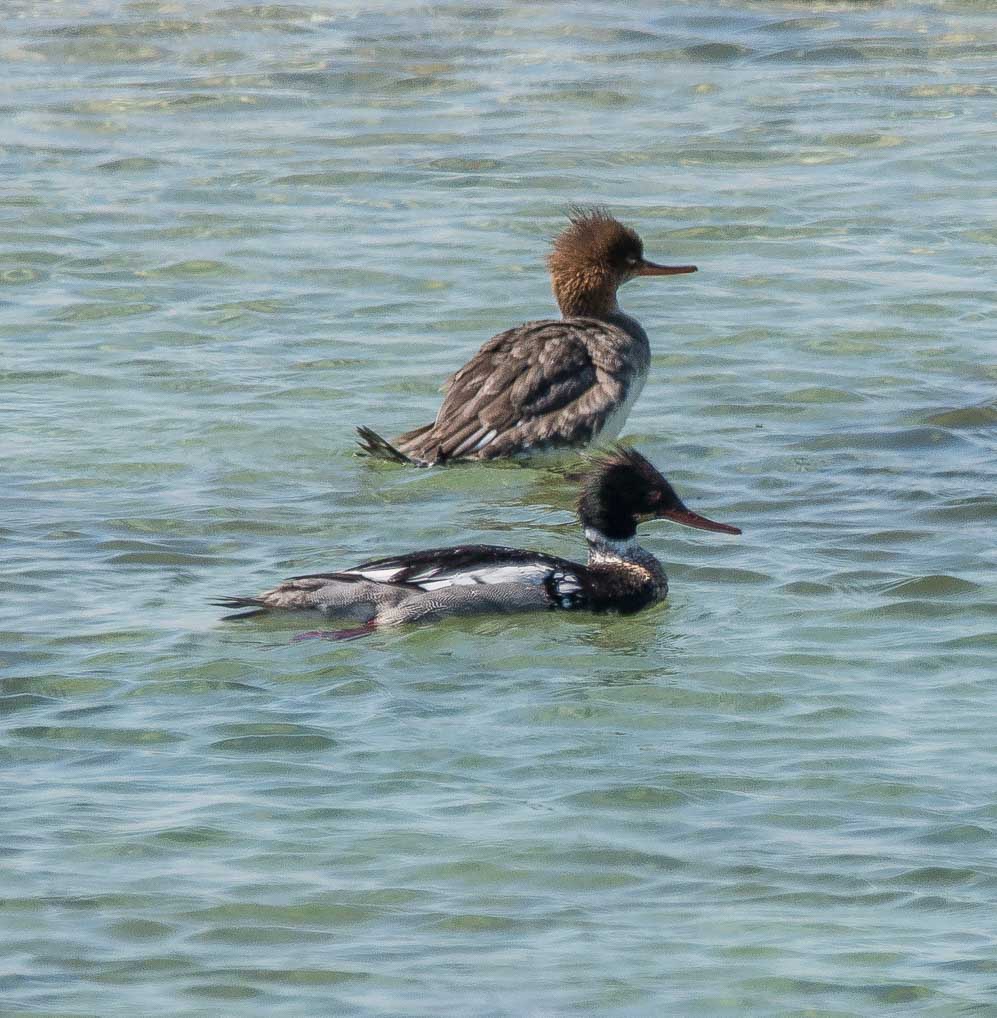
Pair of Red Breasted Mergansers
Our journey took us across the small island of Benbecula, which is now connected to North and South Uist by causeways. The Rough Guide rather rudely suggests you just drive straight over the island. Our view from the main road, rather confirmed that view – flat peat bogs, inspersed with small lakes. However a couple we met at Balranald said it has beautiful beaches, but we did not stop to investigate – there are spectacular beaches everywhere on these islands.
As we moved onto South Uist we noticed that the wooden poles carrying the electicity each had four supporting wires!! I guess this is a clue the winds that are possible in the height of winter.
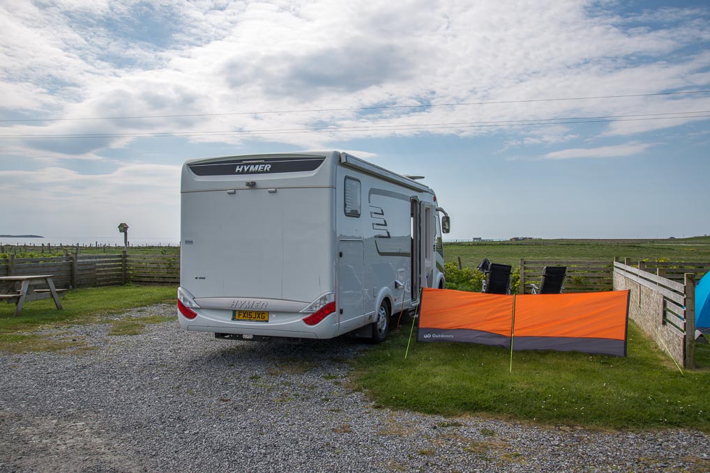
Basil’s new pitch at Kilbrid
We arrived at Kilbride, on the southern tip of South Uist and set up Basil at Kilbride Camping, another nice little campsite with modern facilities (57.103666, -7.357536) and a price of £19 including electricity. I thought we had left the Corncrakes behind, but it appears one has followed us, because in the adjacent field I can hear that now familiar, metallic croak.
The campsite looks out over the sound to Barra and the island of Eriskay. Eriskay is the real life setting for the Whisky Galore story. In 1941 a ship sank off the coast and the island’s population “salvaged” the cargo of 264,000 bottles of Scotch Whisky! Despite determined efforts from the authorities, very little was ever recovered!
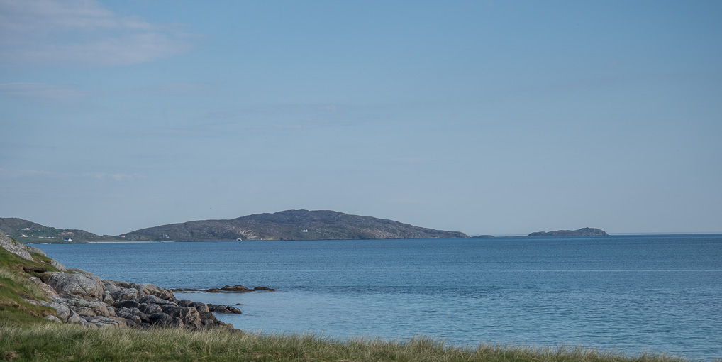
Eriskay from the campsite
We are staying on this campsite for a second night and then we are going to Barra. The ferries to Barra are heavily booked, so we have to go on a ferry at 10.30 am and return the same day at 5.30 pm, so we will only get 6 hours or so to explore the island, but given that the road which circumnavigates the island it only 14 miles long, it shouldn’t be that difficult!
