
For the last two or three years I have been using the Ordnance Survey App for planning and navigating Sarah and my walks in Britain. However, excellent Ordnance Survey, they are not much use once we’ve crossed the English Channel.
Last year my Belgian sister in law introduced me to a French mapping/walking app called Visorando. I installed it on my iPhone but then forgot about it until planning for this trip. Last year I paid £28 for the Ordnance Survey App, but while investigating Visorando I found that not only does it include full mapping for France, Belgium and Switzerland, but also the full Ordnance survey! All for a princely price of £20 a year. Bargain.
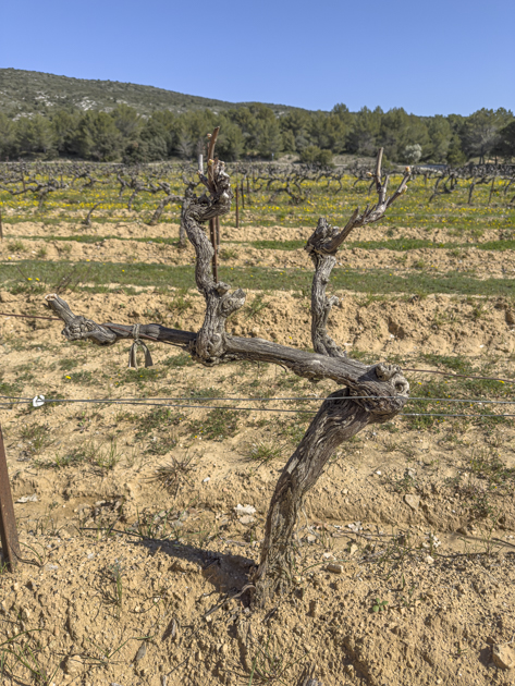
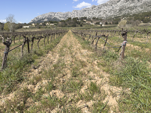
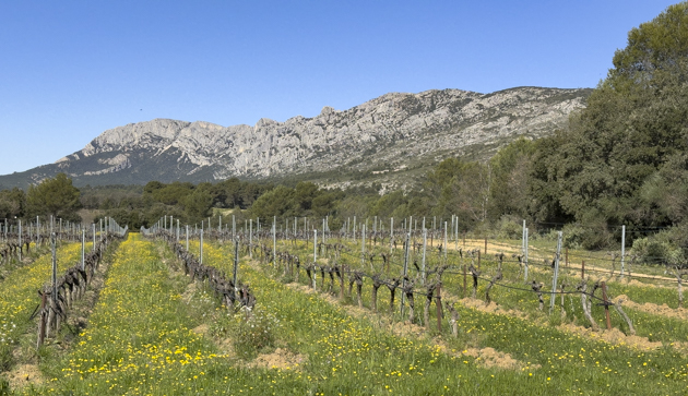
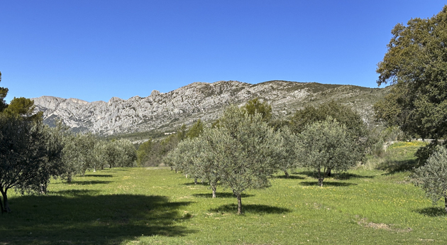
What I’m leading up to saying is I tried Visorando in anger for the first time today. Skye and I went for a 5.5 mile walk through the woods and vineyards surrounding Puyloubier on a route recommended on Visorando.
There was a pleasant breeze to moderate the clear blue sky. What became apparent on our walk was the extent to which Mont St. Victoire totally dominates this area of Provence. Every part of our trek gave a different view. Poor old Skye was kept on an extending lead because I am not confident of a farmers reaction, or rights, should he/she see a Border Collie running at full speed through his vines!e
The end of the walk came into Puyloubier just next to the wine co-operative. It was shut. They clearly don’t want to sell me any wine.
I called in at the Boulangerie on my way through, who were happy to let Skye in, to pick up a delicious savoury puff pastry roll filled with Comté cheese for lunch.
Back at camp Basil, it has begun to cloud over and we even felt a spot or two of rain. It’s a good job I held off on those shorts!